Queenswood – Chatelaine
Smaller area along the Ottawa River with the highest tree canopy of the eight.
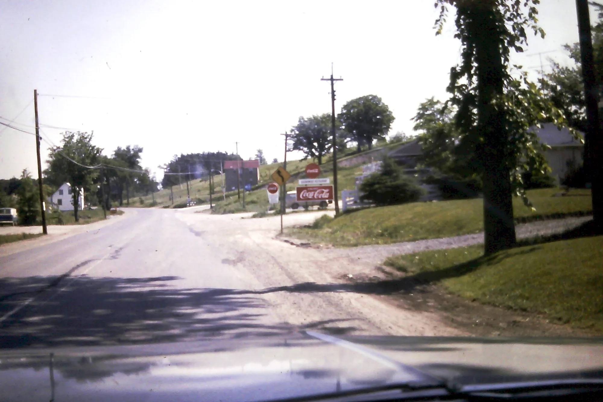
Queenswood – Chatelaine had 4,535 residents in the 2021 census, via the Ottawa Neighbourhood Study. Population: 4,535 (2021).
Updated · Facts on this page link to their sources
About Queenswood – Chatelaine
Queenswood – Chatelaine had 4,535 residents in the 2021 census, via the Ottawa Neighbourhood Study. Tree canopy covered 36.6% of the area in 2024, the highest of the eight areas here. The Ottawa River Pathway is 0.3 km away and Grandmaître Ecological Reserve 0.5 km, both straight-line. The ONS Walk Score average is 28, and 84.6% of workers commuted by car, truck or van in 2021.
Boundaries
Ottawa Neighbourhood Study area Queenswood - Chatelaine. ons-sqo.ca ons-sqo.ca
Homes
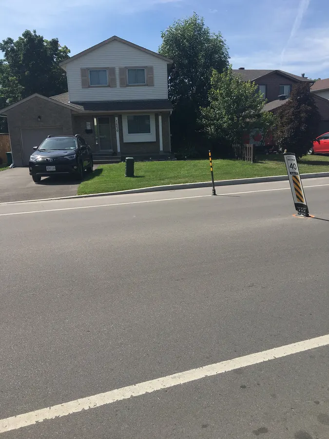
In 2021, 35.7% of dwellings were single-detached, 33.0% row houses, 15.5% semi-detached and 14.4% apartments in buildings under five storeys. 82.0% of households owned and 18.3% rented, and the median owner-estimated dwelling value was $496,000 (2021 census, via the Ottawa Neighbourhood Study). ons-sqo.ca
- Population 4,535 (2021 census)
- Tree canopy 36.6% (2024)
- Ottawa River Pathway 0.3 km straight-line
- Median owner-estimated value $496,000 (2021)
- Walk Score 28, Bike Score 55 (ONS averages)
- Ward 1, per City of Ottawa ward data, October 2026
Around Queenswood – Chatelaine
Walking rings at 5, 10 and 15 minutes from the neighbourhood centre.
Schools
1 nearbyDivine Infant School
OCSB8100 boul. Jeanne D'arc Blvdmaps.ottawa.ca ocsb.ca
1.2 km15 min walk
Straight-line distances from the Queenswood – Chatelaine centre. Living near a school does not guarantee a place: confirm the designated school for an address with each board. All schools and board locators.
Parks & places
10 nearbyOttawa River Pathway
Passive Recreation park · waterfront access
8299 Jeanne d'Arc Boulevard North, Cumberlandmaps.ottawa.ca
270 m3 min walkGrandmaître Ecological Reserve
Passive Recreation park · waterfront access
727 Tweddle Road, Cumberlandmaps.ottawa.ca
530 m7 min walkTaylor Creek Valley
Passive Recreation park · waterfront access
775 Taylor Creek Drive, Cumberlandmaps.ottawa.ca
1.1 km14 min walkSt. Joseph Boulevard Woods
Active Recreation park · waterfront access
551 Princess Louise Drivemaps.ottawa.ca
1.1 km14 min walkRecreational Trail
Passive Recreation park
3210 St. Joseph Boulevard, Cumberlandmaps.ottawa.ca
1.4 km17 min walkPetrie Island Park
Active Recreation park · waterfront access
727 Tweddle Road, Cumberlandmaps.ottawa.ca
1.5 km18 min walkFrançois Dupont Park
Active Recreation park · waterfront access
755 Champlain Street, Cumberlandmaps.ottawa.ca
1.6 km19 min walkRoy G. Hobbs Community Centre
Community Centre
109 Larch Cresmaps.ottawa.ca ottawa.ca
1.7 km21 min walkOutdoor rink, Roy G. Hobbs Community Centre and Park
Outdoor rink (winter, weather permitting)
109 Larch Cres.maps.ottawa.ca ottawa.ca
1.7 km21 min walkStuemer Park
Active Recreation park · waterfront access
777 Tweddle Road, Cumberlandmaps.ottawa.ca
1.7 km22 min walk
Shops & dining
1 nearbyTaylor Creek Pharmacy
Pharmacy
570 Lacolle Wayopenstreetmap.org
1.4 km18 min walk
Getting around
TransitO-Train
Convent Glen station is about 3.4 km away in a straight line (under construction; 2026 (Line 1 east extension, per OC Transpo); Line 1).
O-Train
Jeanne d'Arc station is about 4.4 km away in a straight line (open; Line 1).
Transitway / bus
Place d'Orleans station is about 2.1 km away in a straight line (open).
Downtown
Parliament Hill is about 17.4 km away in a straight line.
For sale in Queenswood – Chatelaine
No Queenswood – Chatelaine homes on orleans.homes right now
Selling here? Get a website for your home, or browse every home for sale in the area.
Quick answers
Short answers first; each links to the full answer and its sources.
What is Queenswood – Chatelaine like?
Queenswood – Chatelaine is a smaller Orléans area with 4,535 residents (2021 census). It has the highest tree canopy of the eight areas at 36.6% (2024), and a mix of single-detached (35.7%), row (33.0%) and semi-detached (15.5%) homes.
As of 2026-10 · ons-sqo.ca maps.ottawa.ca